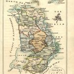
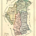
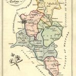
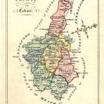
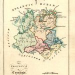
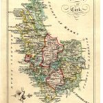
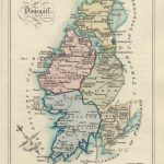
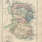
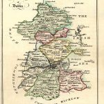
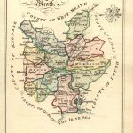
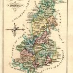
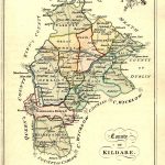
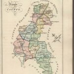
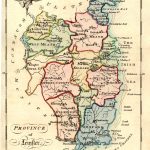
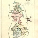
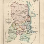
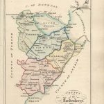
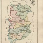
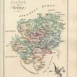
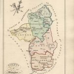
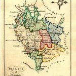
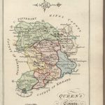
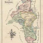
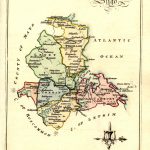
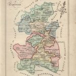
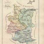
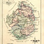
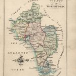
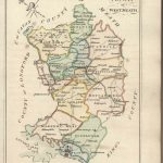
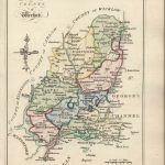
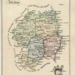
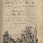
A most attractive suite of county maps by Bernard Scale 1739-1825. The maps are in bright colours. The information on the maps include towns and the road network in the 18th century. There is no cartouche and the county name is displayed in an artistic script. There is a simple scale on some maps.
(Image Full Screen plus Zoom and Pan controls are located in top right of Gallery when opened)