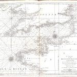
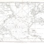
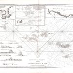
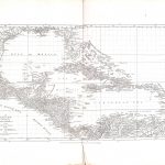
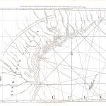
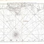
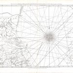
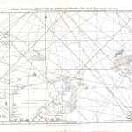
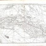
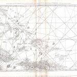
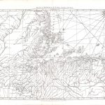
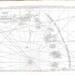
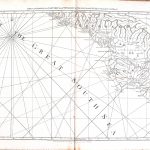
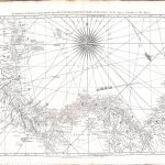
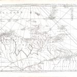
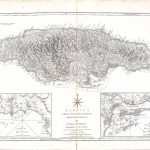
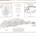
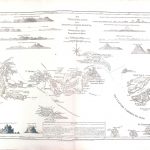
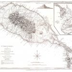
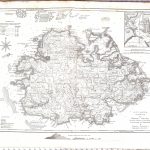
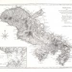
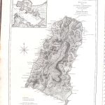
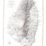
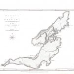
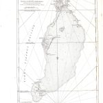
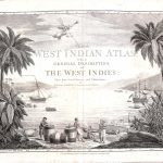
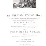
An important atlas of the West Indies by Thomas Jeffferys 1710-1771. There is an extensive suite of maps as the West Indies were a most important economic region in the 17th and 18th centuries. The maps are of the usual high standard of Jeffereys cartography.
(Image Full Screen plus Zoom and Pan controls are located in top right of Gallery when opened)