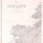
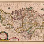
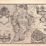
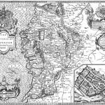
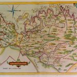
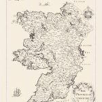
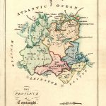
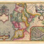
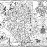
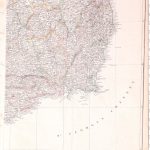
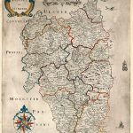
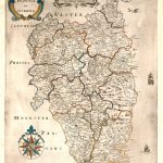
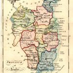
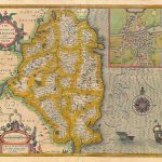
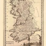
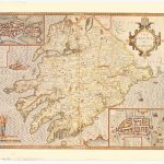
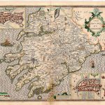
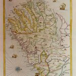
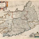
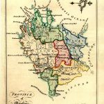
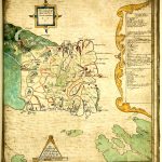
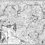
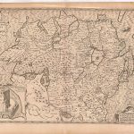
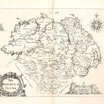
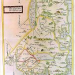
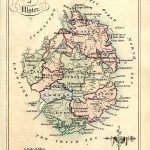
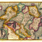
A selection of provincial maps by various mapmakers through the 17th to the 19th centuries. The maps vary considerably in content and quality of cartography. The maps by Speed contain much information on family names.
(Image Full Screen plus Zoom and Pan controls are located in top right of Gallery when opened)